
Lythix Mapping Services
MAPPING SERVICES
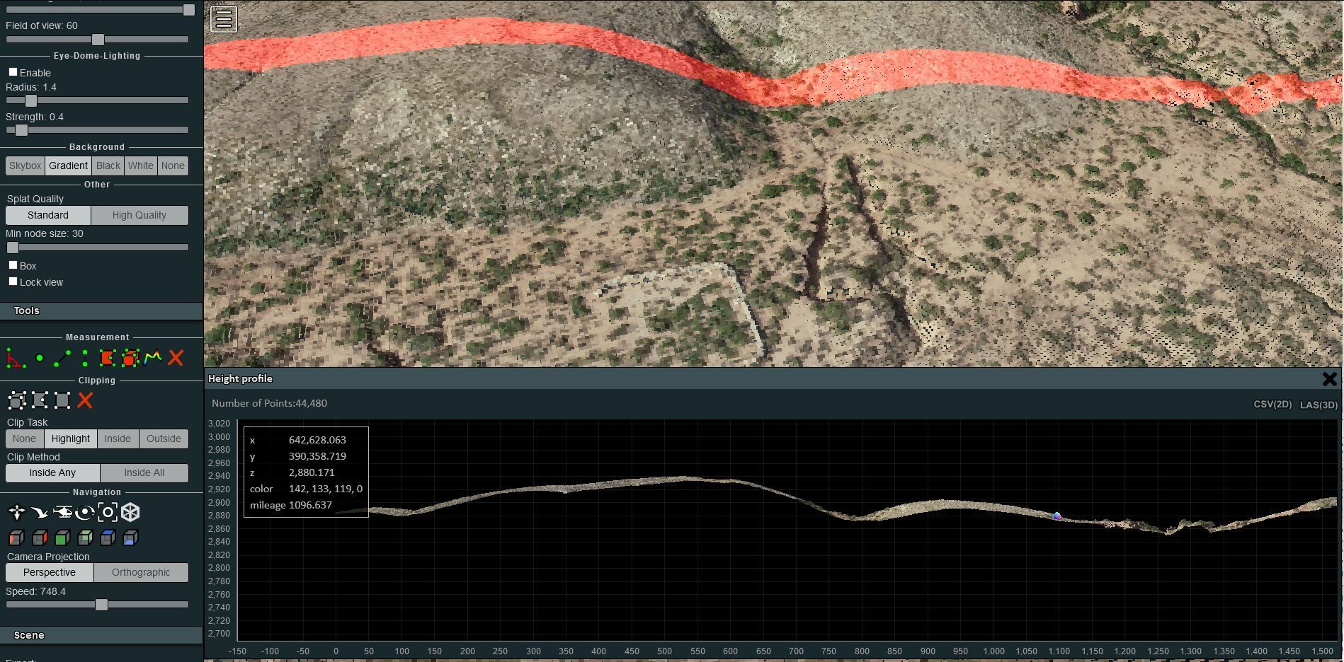
Lythix Aerial platforms with CM level accuracy for planning, construction and maintenance of industrial sites. Acquire GIS data and imagery from a turn-key UAV solution that can cover large areas and takeoff and land anywhere.
ESRI
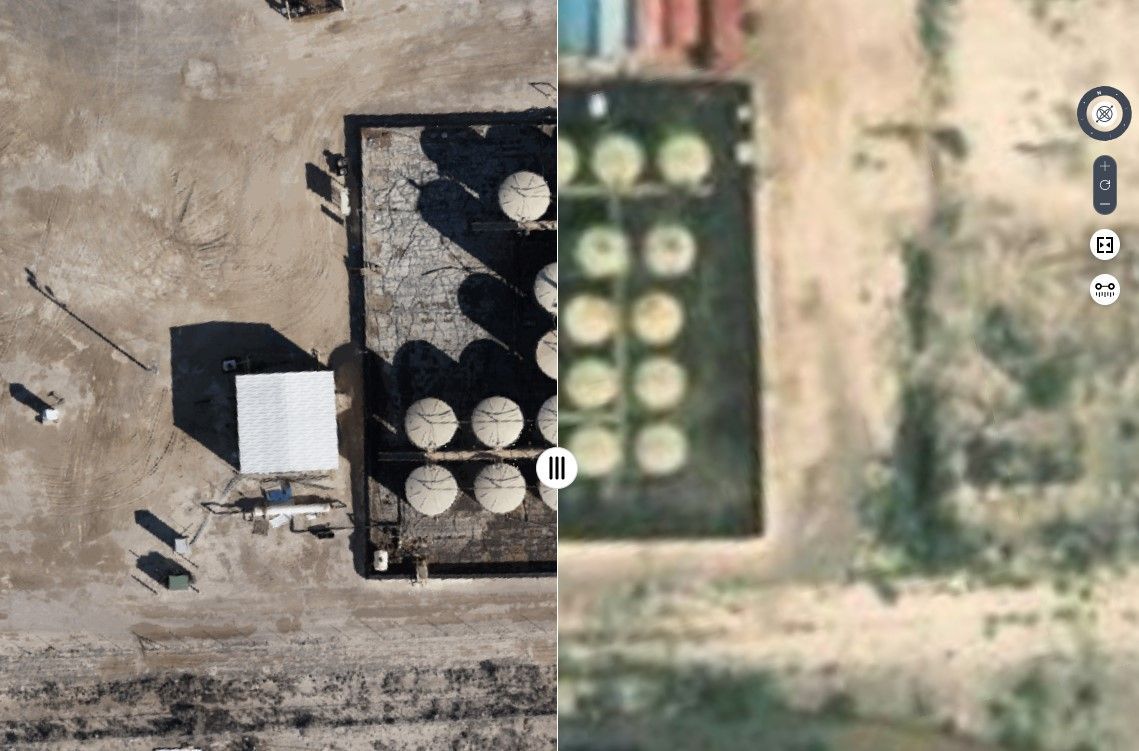
The Lythix customer portal provides instant access to both current and historical volumetric data for everyone in your organizations to when you have granted access and resolution customized to the client’s needs addressing both the storage and data access hurdles. Hosted on Amazon Web Services for extreme reliability and much needed security, our portal provides a subscription-based answer to all your data needs, accessible via a client login on the Lythix website.
Asset Mapping
Lythix Aerial platforms with CM level accuracy for planning, construction and maintenance of industrial sites. Acquire GIS data and imagery from a turn-key UAV solution that can cover large areas and takeoff and land anywhere.